Page 141 - Beaumont Basin Watermaster
P. 141

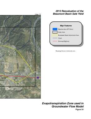
2013 Reevaluation of the
 Beaumont Basin Watermaster                     3-Apr-15                Beaumont Basin Safe Yield


                                                                                  Map Features

                                                                               Riparian Area (ET Zone)
                                                                               Study Area

                                                                               Beaumont Basin Adjudicated Area
                                                                               Creek

                                                                               Freeway/Highway
 § ¨ ¦
 10


                                                                            Basemap Source: www.esri.com


 Noble Creek  Marshall Creek
 San Timoteo Creek


 U V
 60
                         Smith Creek


                                                   § ¨ ¦
                                                   10
 Cooper's Creek


 Ü


 0  0.5  1  2
 Miles
 NAD 83 State Plane Zone 6                               Evapotranspiration Zone used in

                                                                      Groundwater Flow Model
                                                                                                       Figure 34
   136   137   138   139   140   141   142   143   144   145   146