Page 73 - Yucaipa Valley Water District - Board Workshop
P. 73
Workshop Memorandum No. 16-006 Page 6 of 8
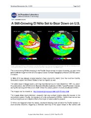
The current strong El Niño brewing in the Pacific Ocean shows no signs of waning, as seen in the
latest satellite image from the U.S./European Ocean Surface Topography Mission (OSTM)/Jason-
2 mission.
El Niño 2015 has already created weather chaos around the world. Over the next few months,
forecasters expect the United States to feel its impacts as well.
The latest Jason-2 image bears a striking resemblance to one from December 1997, by Jason-
2's predecessor, the NASA/Centre National d'Et udes Spatiales (CNES) Topex/Poseidon mission,
during the last large El Niño event. Both reflect the classic pattern of a fully developed El Niño.
The images can be viewed at: http://sealevel.jpl.nasa.gov/elnino2015/index.html
The images show nearly identical, unusually high sea surface heights along the equator in the
central and eastern Pacific: the signature of a big and powerful El Niño. Higher-than-normal sea
surface heights are an indication that a thick layer of warm water is present.
El Niños are triggered when the steady, westward-blowing trade winds in the Pacific weaken or
even reverse direction, triggering a dramatic warming of the upper ocean in the central and
Yucaipa Valley Water District - January 12, 2016 - Page 69 of 279